Puerto Cabello
GEOGRAPHICAL LOCATION
NORTH CENTRAL COASTAL REGION, CARABOBO STATE LATITUDE: 10°328'00" Nort LONGITUDE: 68°11'00" West SURFACE: 184 ha approx.
PORT INFORMATION
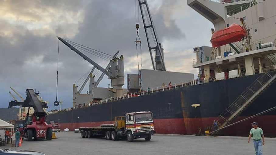
TYPE OF CARGO: GENERAL CARGO - CONTAINERS - BULK CARGO – LIQUID CARGO OPERATOR: BOLIPUERTOS MAX DRAFT: 10.7 MTS / 35.10 FEETS NUMBER OF PIER: 31 PIERS AVAILABLE FACILITY TYPES: SOLID CARGO & LIQUID CARGO (PIER 32)
| MAX LOA BY PIER WITH DRAF | ||
| PIER | LOA | DRAFT |
| 1 | 137 | 31'00 |
| 2 | 137 | 31'00 |
| 3 | 150 | 31'00 |
| 4 | 150 | 31'00 |
| 5 | 150 | 31'00 |
| 6 | 150 | 31'00 |
| 7 | 150 | 31'00 |
| 8 | 173 | 32'00 |
| 9 | 173 | 32'00 |
| 10 | 210 | 33'00 |
| 11 | 210 | 33'00 |
| 12 | 240 | 32'00 |
| 13 | 140 | 31'00 |
| 22 | 184 | 33'70 |
| 23 | 184 | 33'70 |
| 24 | 184 | 33'70 |
| 24A | 255 | 33'70 |
| 25 | 206 | 33'70 |
| 26 | 206 | 33'70 |
| 27 | 206 | 33'00 |
| 28 | 200 | 33'00 |
| 29 | 200 | 33'00 |
| 30 | 200 | 33'00 |
| 31 | 203 | 33'00 |
| 32 | 203 | 33'00 |
| 37 | 180 | 33'00 |
| 38 | 180 | 33'00 |
| 39 | 180 | 32'00 |
| 40 | 180 | 32'00 |
| 41 | 180 | 32'00 |
| 42 | 180 | 32'00 |
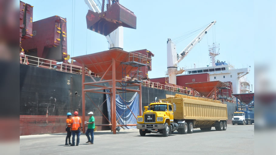
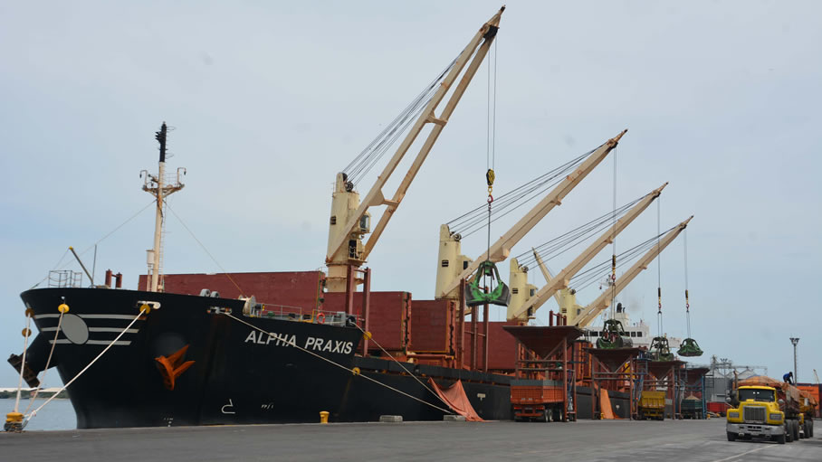
Berth # 37/42 are composed of three (03) floating piers. Berth # 31 has two (2) mobile crane equipped with two (2) suction tubes for discharging of grain at the rate of Abt. 125 Tns/Hr. to silos by conveyor belts (Max. 300 Tns p/Hr.) silo’s capacity of abt. 21.000 tons. Berth # 32 is used for handling liquid asphalt & Molasses. Berth # 37/38 is operated by an Private Company named (Terquimca) for handling certain types of Liquid & Chemical products. Berth # 39/40 is operated by the Venezuelan Navy and also a private company named "Ocamar" for the handling of containers & general cargo. Berth # 41/42 are normally used by the Venezuelan Navy.
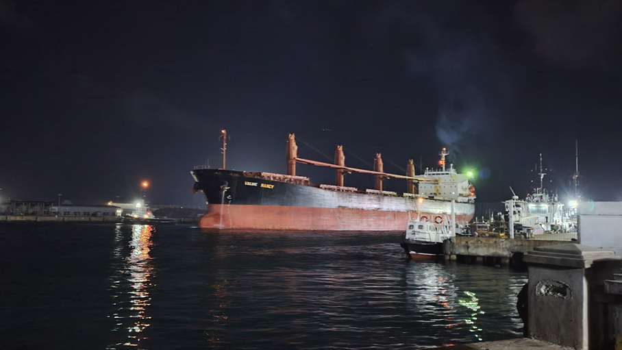
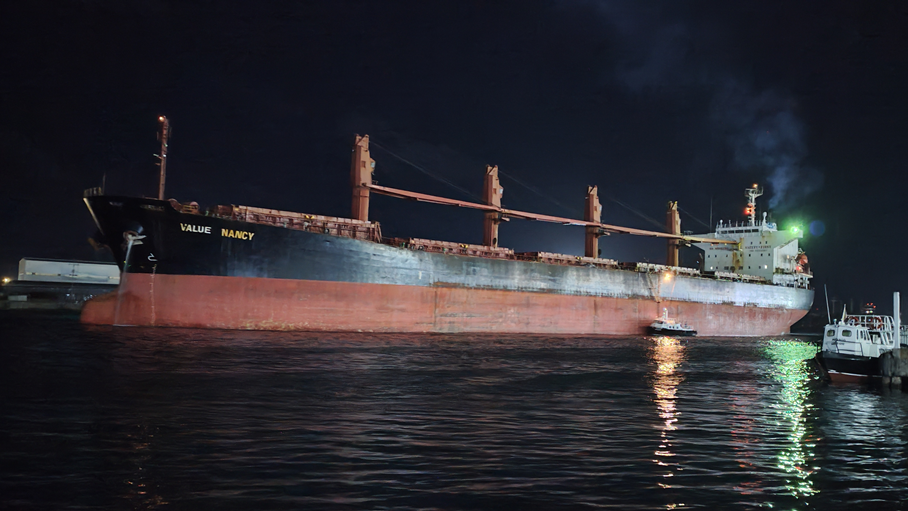
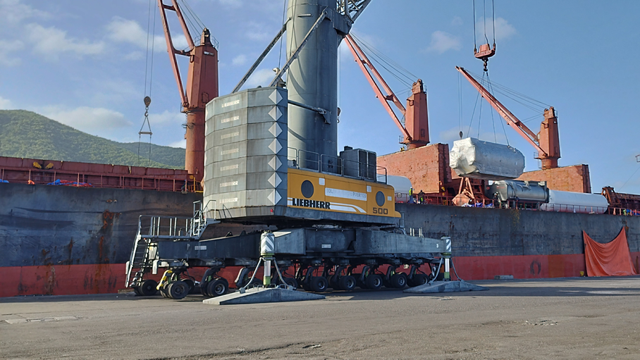
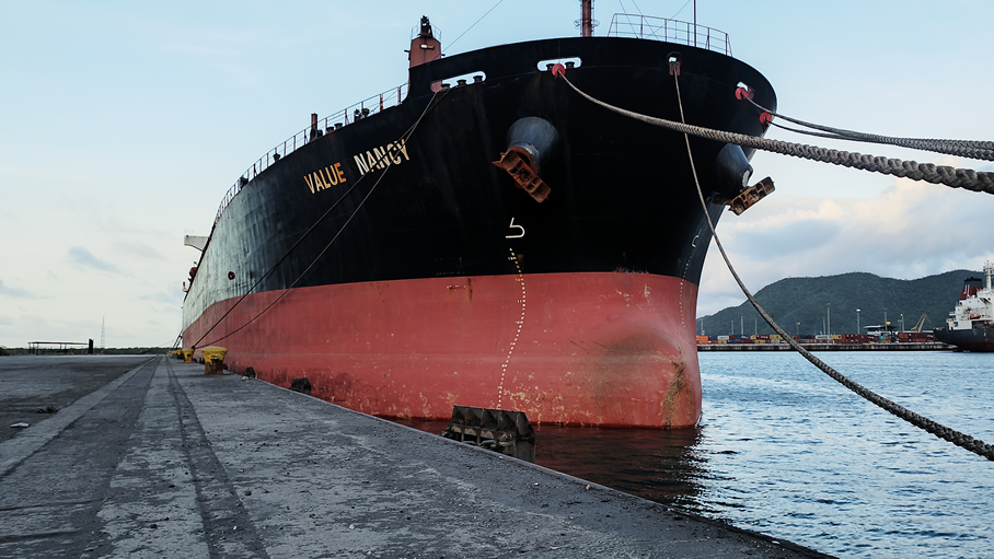
Media